
About
A decade of decision-grade geospatial work.
Research-grade rigor, delivered across two continents, by a team that has trained the field it works in.
Geospatial data,
made decision-ready.
GISCleric International is a geospatial technology and data solutions firm with more than a decade of delivery across West Africa and Canada. We build valuable, actionable insight from satellite imagery, drone surveys, and field data.
We have delivered over 200 projects of every scale, from land use and climate analysis to flood risk modeling, waterways survey, telecommunications planning, and environmental assessment. Our approach is customer-centric and research-grade: we pair rigorous method with clear, usable outputs, and we build long-term relationships on transparency and results.
delivered
experience
trained
served
To empower organizations to make better decisions by unlocking the full potential of their geospatial data, through innovative, reliable solutions built on quality and rigor.
To be a global leader in geospatial technologies and data solutions that enable data-driven decision-making across public and private sectors.
The person behind the method.

Joseph Aro
Joseph is a geospatial technologist and entrepreneur with over 14 years of experience across remote sensing, GIS, hydrology, and drone operations. He holds a BTech in Geography and an MSc in GIS and Environmental Management, and is a licensed drone pilot certified under Transport Canada (Basic and Advanced RPAS).
His work spans land use and climate analysis, flood and disaster risk modeling, environmental impact assessment, and telecommunications planning. He has trained more than 300 professionals across Africa and Canada, and has served as a GIS consultant to the University of Ilorin.
He founded GISCleric International to bring research-grade geospatial intelligence to the organizations that manage land, water, and infrastructure.
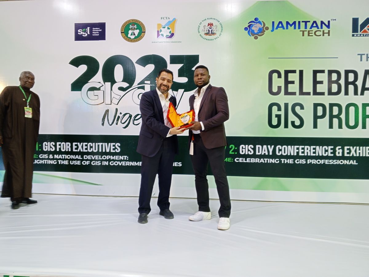
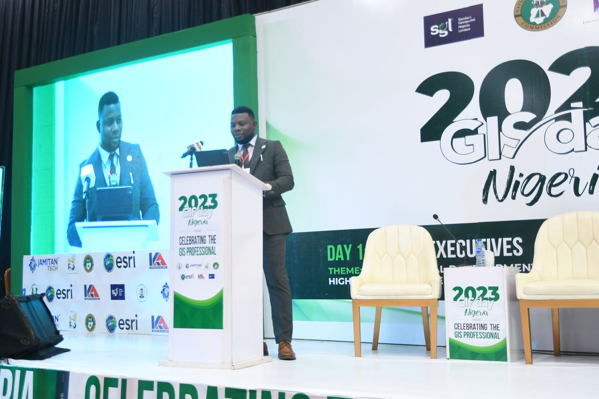
In the room where
the field gathers.
GIS Day Nigeria 2023, Celebrating the GIS Professional. Speaking, exhibition, and industry recognition.

Your geospatial
partner, end to end.
From survey and acquisition through analysis, modeling, and advisory, we deliver the geospatial intelligence that de-risks decisions on land, water, and infrastructure.